Baxter State Park
Map
Mount Katahdin is where my love of hiking began. I still remember standing on a picnic table at the lookout on I95 and watching the sun set over the mountain in the distance. A few months later we drove through the park and I remember looking up at the peaks and wondering how anyone could climb that high in just one day. Since then I have hiked every trail on Mount Katahdin and several of the other surrounding mountains.
Mount Katahdin is the highest peak in Maine and just shy of 1 mile in elevation at 5,267 feet (1606 meters). The steepest trail to the summit is the Cathedral Trail and the easiest is probably the Saddle Trail. If you are looking for a steady climb in between, then the Hunt Trail or Abol Trail on the south face of the mountain provide great options. If you are an experienced hiker and aren't afraid of heights then you will probably want to cross the Knife Edge to get the full experience of Katahdin.
Other mountains we love are Doubletop Mountain and the Mount Coe-Brothers Loop. All provide spectular views of Mount Katahdin and they are way less busy. If you really want seclusion head to the north part of the park and climb the peaks the circle South Branch Pond. When we hiked this trail we had a friendly, but nerve wracking, encounter with a small bear cub.
Galleries

Safety
The hiking trails on Mount Katahdin are quite busy in the summer so you will need to reserve a parking space. Other things to consider are that you will need a flashlight with fresh batteries for everyone in you party. Most people underestimate how long it takes to hike the mountain. Rangers will confirm that you have one. We have left the mountain several times in the dark. Weather is also a consideration since half of the trails are above treeline. Above treeline is not the place you want to be if there is lightning. It is also significantly colder and more windy at the top. For a full list of what you need to take on your hike check out the Baxter State Park webpage.
Directions
The town of Millinocket is the gateway to Baxter State Park. After traveling through East Millinocket then Millinocket you will come to a T in the road. Turn right at the T and soon after turn left onto Bates Street. Continue on this road for 14.9 miles and you will come to a sharp right turn in the road. Soon after taking this sharp turn you will enter the park. The road travels between Togue Ponds and comes to the small visitor center and bookstore on the left. There is a porta potty here if you need to use it after the long drive.
Don't confuse the visitor center with the Togue Pond Gatehouse. We did one year and waited until the visitor center opened before entering the park. The gatehouse is in the middle of the road and right after it the road splits. Going right will take you to the back side of Mount Katahdin where you can hike up into the bowl and choose one of the trails from there. Going left will take you around the front of the mountain where you will access the Hunt and Abol Trails, and most of the other mountain trails in the park. The road continues in a giant loop around the park exiting the park in the remote northeast corner. Don't forget to fill up on gas if you are planning to comlete the whole loop.
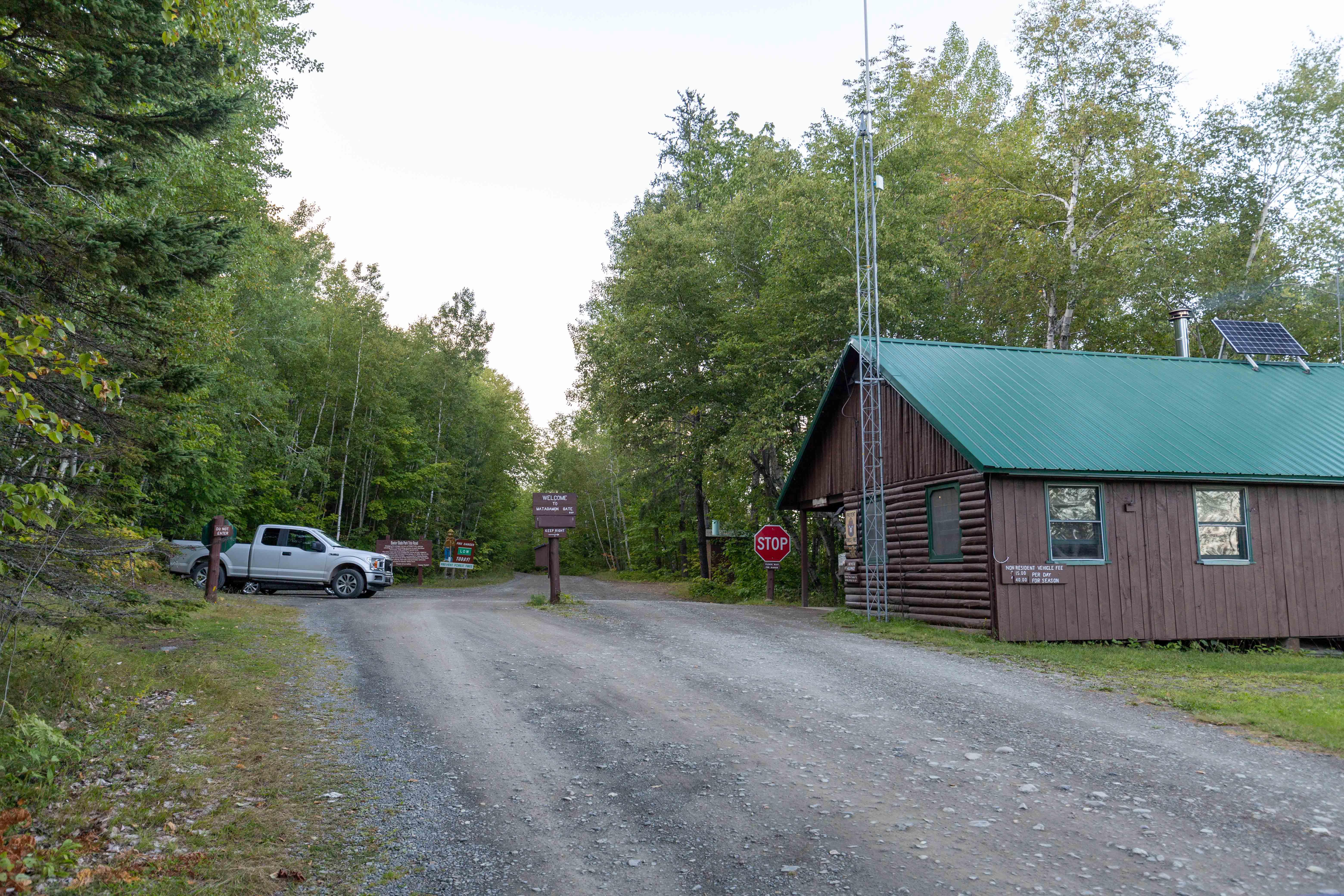
If you are accessing the park from the northeast edge then get yourself to the town of Patten then go east on route 159. Continue on this road for 26 miles and you will will enter the park at Matagamon Gate.
Trails in the Park
- Abol Trail
- Cathedral Trail
- Chimney Pond Trail
- Doubletop Mountain Trail
- Dudley Trail
- Hamlin Ridge Trail
- Helon Taylor Trail
- Hunt Trail
- Knife Edge Trail
- Marston Trail
- Mount Coe Trail
- North Basin Trail
- Northwest Basin Trail
- Saddle Trail
- Traveler Loop Trail
