Hamlin Ridge Trail
Map
Gallery
Quick Facts
| Difficulty | strenuous |
| Trail Type | linear |
| Distance | 1.7 miles (2.8 km) |
| Estimated Time | 2 to 3 hrs one way |
| Surface Type | forested, rock |
| Elevation Range | 1,870 feet (570 m) |
| Total Descent | 1,900 feet (579 m) |
| Features | peak, ridges |
| Trail Markers | blue paint |
| Scenery Rating | must see |
| Maintenance Rating | well maintained |
| Cell Reception | none |
| Dog Friendly | no |
| Fees | park entrance |
Description
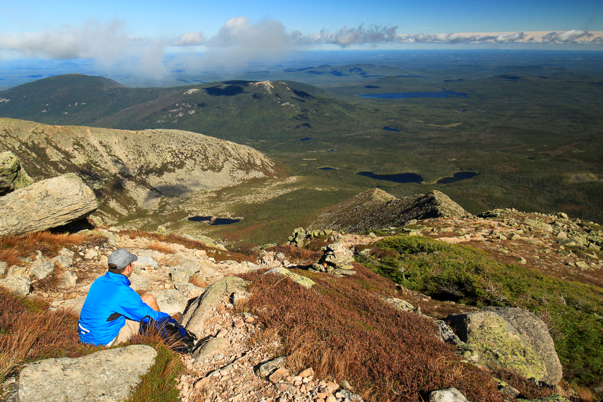
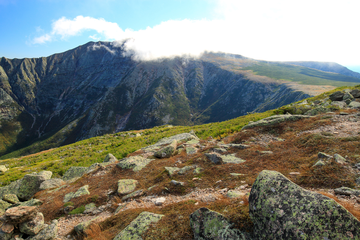
The Hamlin Ridge Trail starts by climbing through the woods towards North Basin. After the junction with the North Basin Trail the trail starts to climb. Soon you are above treeline with views of North Basin to the north, Great Basin and Baxter Peak to the south, and Basin Ponds and distant hills to the east.
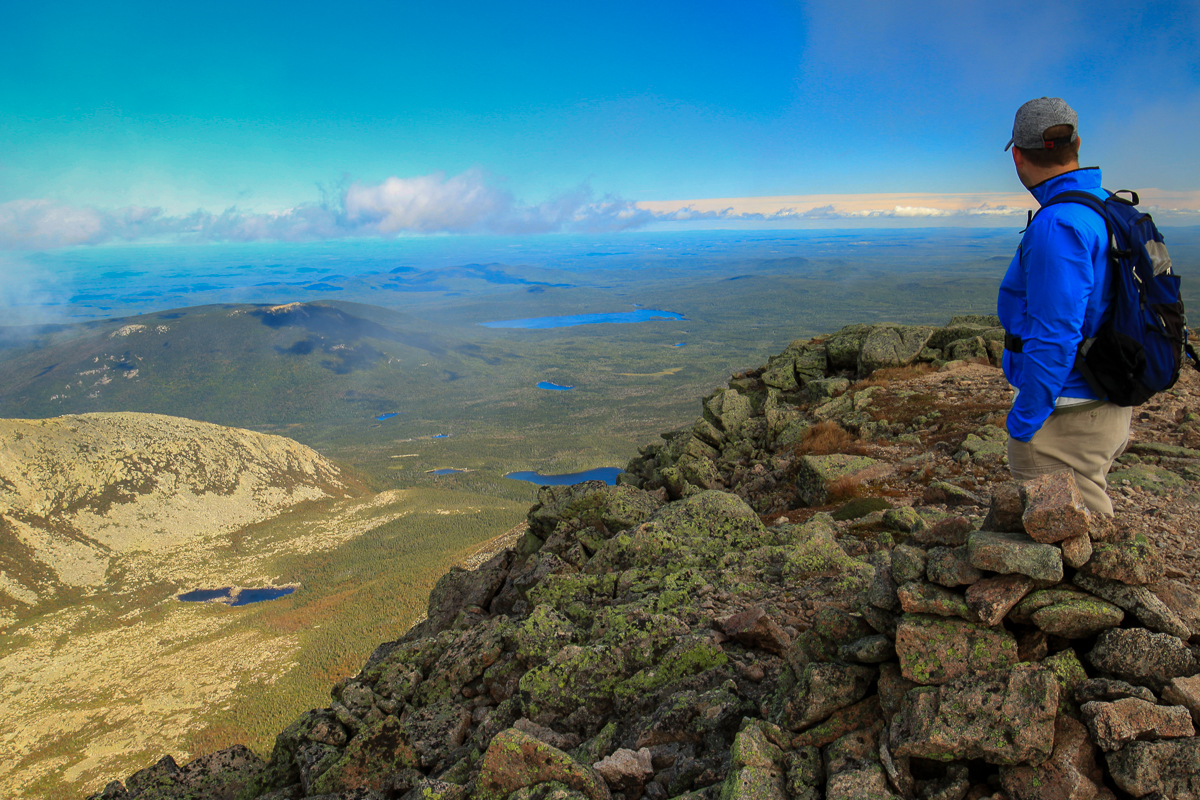
The exposed ridge is made up of mostly flat granite. There are a few places where a bit of scramble over larger rock outcrops is required. The trail eventually reaches the peak where the landscape spreads out into the plateau. From here you will have magnificent views across the saddle to Mount Katahdin's peak and west towards Mount Coe and the Brothers.
After a short and gentle descent you will come to the trail junction with the Northwest Basin Trail near Caribou Spring.
Always be cautious of weather when you are going above treeline.
Directions
For directions to the park go to the Baxter State Park page.
The Hamlin Ridge Trail can be accessed from the Chimney Pond Trail just before reaching Chimney Pond Campground. The Chimney Pond Trail is accessed from the Roaring Brook Campground Parking lot. This is the busiest parking lot in the park because it accesses most of the trails up Mount Katahdin. Parking reservations are required unless you are camping at Roaring Brook Campground. You can find more information about parking reservations here.
To access the Roaring Brook Campground from the Togue Pond Gatehouse turn right just past the gatehouse. Drive for 7.9 miles (12.7 km) and you will come to Roaring Brook Campground. Park here. You will find the start of the Chimney Pond Trail off the end of the parking lot past the Campground office.

The other end of the Hamlin Ridge Trail can be accessed from the Tablelands (Mount Katahdin plateau) on the Northwest Basin Trail near Caribou Spring. The Hamlin Ridge Trail can be combined with another trail to Baxter Peak to make a loop but it makes for a big hike. In our hike from the pictures we climbed Dudley, crossed the Knife's Edge and the Saddle, and descended Hamlin Ridge. We hit 3 peaks and it took us close to 11 hours. We were not wasting any time.
Hiking up and down the Hamlin Ridge Trail or making a loop with the Saddle Trail would be a much less daunting hike and well worth it for the amazing views of Baxter Peak from across Great Basin.

Other Trails in the Park
- Abol Trail
- Cathedral Trail
- Chimney Pond Trail
- Doubletop Mountain Trail
- Dudley Trail
- Helon Taylor Trail
- Hunt Trail
- Knife Edge Trail
- Marston Trail
- Mount Coe Trail
- North Basin Trail
- Northwest Basin Trail
- Saddle Trail
- Traveler Loop Trail
- Trail Last Hiked: September 20, 2015
- Page last updated: March 28, 2020